
Walk an Aurora Street by Address
A street-by-street search begins by resolving the place, not by guessing a person's name. Aurora spans Kane, DuPage, Kendall, and Will counties. That split controls which assessor, GIS viewer, recorder, and election office holds the next record. The city's MyPlace map accepts an address or parcel identification number, known as a PIN, and supplies county, ward, ZIP context, and local-service layers. Save the county and PIN first.
Build a dated chain. A tax card identifies a taxpayer or owner field. A deed records a transfer. A voter search may confirm a registration match under strict public-use limits. An old reverse directory lists the household as its publisher recorded it. These facts overlap, but they are not interchangeable.
- Enter the modern address in MyPlace. Record its county, PIN, ward, ZIP context, and city-limit status.
- Open that county's assessor portal. Compare situs, taxpayer, mailing address, tax year, property class, and sale fields.
- Select the parcel in county GIS. Note adjacent PINs, street frontage, subdivision, and map date.
- Search the recorder by PIN, legal description, or grantee. Capture instrument number, parties, type, and filed date.
- Use an election tool only as allowed. For older households, consult the library's reverse directories.
Records Behind Aurora's Street Directory
Each address source answers a distinct question. Property systems are best for current parcel context. GIS lays out the block. Recorder indexes supply legal instruments. Voter tools can check a registration under Illinois rules, while reverse directories are dated historical publications. Label every finding by source and year.
| Address source | Keeper | Useful result | Access path |
|---|---|---|---|
| Property and tax roll | County assessor | PIN, taxpayer, situs, mailing field, class, sale clue | Free portal; assessor office fallback |
| Parcel map | City and county GIS | Shape, adjacent PINs, subdivision, ward and districts | Free viewers; not a survey |
| Recorded instruments | County recorder | Grantor, grantee, type, date, number, legal description | Online index where available; office copies |
| Registration check | Election authorities | Constrained match from name, ZIP, house number, or street | State or county tool under public-use limits |
| Reverse directory | Aurora Public Library District | Names printed under an address in a stated year | Onsite volumes, microfilm, and staff help |
The PIN ties the assessment to the deed and map. The street name connects the address routes. None of these fields alone proves current occupancy.
Four Counties Shape Aurora Streets
No Aurora street directory can send every address to one county site. Kane DevNet searches parcel number, owner, house number, street, suffix, community, and tax years. DuPage separates PIN, address, billing-name, and map routes. Kendall DevNet accepts a house-number range, street, city, owner, sale criteria, tax district, and legal description. Will offers six modes: PIN, property address, sale, subdivision, owner, and property class.
A ZIP or neighborhood label does not settle jurisdiction. Use the MyPlace county field and PIN, then stay within that county's record chain. If the city map seems unclear, check the official county parcel viewer before choosing an office.
| County | Street entry | Land-record fallback | In-person route |
|---|---|---|---|
| Kane | DevNet street, community, or PIN | LRS party, PIN, instrument, subdivision, block or lot | Geneva recorder research room, weekdays 8:30 to 4:30 |
| DuPage | Property lookup or parcel viewer address | Recorder street, PIN, party, document, or date | Wheaton research office, 630-407-5401 |
| Kendall | DevNet house range, street, city, or PIN | Recorder office because no open index was located | Yorkville research, weekdays 8 to 4 |
| Will | Assessor address, PIN, sale, subdivision, owner, or class | Recorder Ways to Search and Fidlar | Joliet assessment office, weekdays 8:30 to 4:30 |
Aurora Street Directory Map Handoff
MyPlace is the clean handoff between a typed address and the county system. It can show the parcel among wards, schools, parks, libraries, and other service areas. Those layers answer geographic questions. They do not prove who occupies a home, and the city warns that the dynamic map is informational rather than a survey.
The live Aurora MyPlace map shows the address and parcel search used for that handoff.
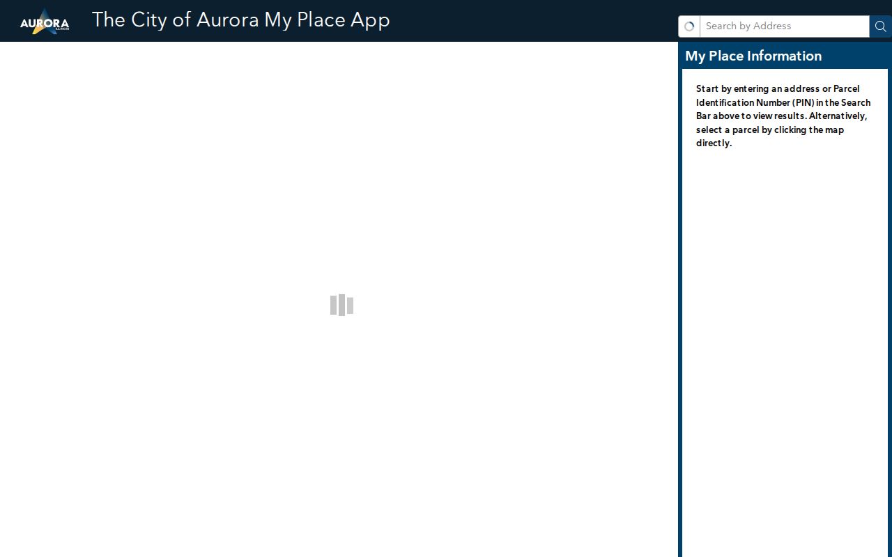
Record the parcel key and county from the map, then verify names and transfers in the responsible county system.
Search Aurora Property by Street
Kane DevNet offers the best documented street form for Kane-side Aurora. House Number and Street Name identify the situs route, while Owner Name reflects the tax record. Search All Tax Years or low and high years can expose assessment history within the portal's tax data back to 2004. Dynamic filters add township, tax district, class, and subdivision.
| Kane field | Input | Need | Street use |
|---|---|---|---|
| Parcel Number | Text, with or without dashes | One criterion overall | Returns to a saved parcel |
| Owner Name | Text as printed on tax bill | Alternative | Checks a taxpayer, not occupancy |
| House Number | Text | Alternative | Narrows to one number |
| Street Name and Suffix | Text and dropdown | Alternative | Builds a by-street result set |
| Community Name | Dynamic selector | Optional | Keeps a common road near Aurora |
| Tax Year Low/High | Year | Optional | Bounds the assessment period |
Review rows one at a time. Owner, mailing address, and property address can identify different people or places. The recorder's deed controls the legal transfer.
Deeds Along an Aurora Street
A recorder index is not a resident roster. Convert the address to a PIN or legal description first. Kane LRS can search grantor, grantee, PIN, instrument number, type, filed date, subdivision, block, lot, or section-township-range. Details may show parties, consideration, comments, and selected images. Free index access does not make an online copy official; certified copies come from the recorder.
The Kane LRS deed index is the main recorded-land route for Kane-side Aurora.
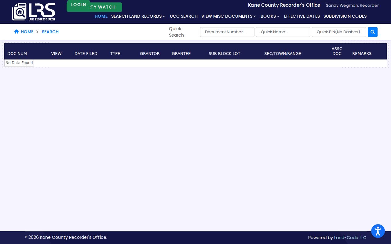
Start with the latest instrument. Then use its grantee as a name key and search backward. A mortgage release, lien, or other instrument does not prove residence.
DuPage offers a direct street, PIN, party, document type, and date search. Its index and images begin March 16, 1961. Older DuPage work goes to the research office. Kendall lacks a confirmed open index, so the recorder counter is the safe fallback. Will links to Fidlar, but no stable coverage start date was established.
Aurora Address Record Terms
Four terms prevent common street directory errors. Save each label with its source, since a tax card and deed may describe the same property in different ways.
- Parcel
- A mapped unit of land identified by a county PIN. One address can include more than one parcel.
- Situs address
- The physical property address, which can differ from a tax-bill mailing address.
- Plat
- A recorded map showing lots, blocks, streets, and subdivisions. It helps when a number changes.
- Criss-cross directory
- A historical directory arranged by street and house number rather than only by surname.
Aurora's 1928 Street Number Shift
A modern number may fail in an old volume for a local reason. Aurora renumbered addresses in fall 1928. The Aurora Public Library District holds a 1929 old-to-new conversion. Before calling a pre-1928 result missing, translate the number and save both forms with street, block, and ward.
The conversion pairs with reverse sections included in many city directories from 1895/96. Search the old number by street, capture every surname there, then check the alphabetical pages. Aurora Historical Society Sanborn maps for 1885, 1897, 1907, and 1957 can show a shift in building footprint or use. The sequence keeps an Aurora street directory useful across the numbering break.
Local shortcut. A failed early address search should trigger the 1929 conversion index before any claim that the record was absent.
Aurora Streets in Election Records
Illinois's registration lookup asks for first and last name, birth date, five-digit ZIP, then street number and name. Kane County instead uses last name plus house number or street. The result is a constrained registration check, not a public list of everyone on a block.
State law limits public voter data and redacts sensitive fields. A wrong ZIP or county route can cause no result in four-county Aurora. Verify the address through MyPlace, use the right election authority, and retain the lookup date. Phone, office, and lawful records-request channels remain when an online form cannot resolve a documented question.
Map Aurora Records Along Streets
County GIS adds detail after MyPlace chooses the jurisdiction. KaneGIS4 connects cadastral parcel shapes to assessor information and a separate buffer route. DuPage Parcel Viewer can search a PIN or a segmented address, draw shapes, select subdivisions, create a buffer, and use “Search surrounding area.” Its Results tools can remove or clear selections and export text, downloads, or a PDF report. Kendall's public guide uses PIN or site-address autocomplete and can distinguish overlapping parcels. Will's viewer offers more than 70 layers, including parcels, roads, address points, zoning, flood areas, school and tax districts, aerial imagery, and public-safety context.
Dates differ by layer. The inspected Will data page labeled parcel data Summer 2026, address and street data weekly, and zoning monthly. Other viewers did not expose one common date. Save the map date, selected PINs, active layers, and a clear note that geometry is not a legal survey. A by-address result may locate the tax parcel without identifying the person inside the building.
Kane's Buffer tool starts with an address or PIN, asks the user to choose the gold PINInfo result and a distance in feet, then returns parcel mailing addresses in that radius. Convert those results back to PINs before opening the parcel cards. DuPage's surrounding-area export is a different method. It creates a reproducible selected set, while the Kane route gives mailing output by distance. Neither should be labeled a list of Aurora residents.
Limits of an Aurora Street Directory
No public Aurora-wide roster lists everyone living along a street. A taxpayer can live elsewhere. A deed may name a trust or estate. An election result is constrained by law and may lag a move. Historic directories have gaps, and current GIS parcel lines are not surveys. USPS ZIPs describe delivery, not county, city limits, or occupancy.
Illinois's Address Confidentiality Program can provide qualifying people with a substitute address for new public records, though it cannot ensure that an older property record disappears. Sealed records and restricted vital material stay outside a street search.
Lawful use. Use Aurora address records for legitimate personal research, never to stalk, harass, intimidate, or harm a person.
Aurora Records at the Counter
Online access is only one channel. Kane recorder staff provide a research room for instruments back to 1837, and certified copies come from the office. DuPage maintains its Wheaton research office for material outside the online span. Kendall office research is the documented route where no open recorder index was found, while Will directs users through its recorder and Fidlar options. Bring the PIN, legal description, document number, party names, and a narrow date range. Ask about current image or certification fees before ordering, since the research does not establish one universal copy price across the four counties.
For municipal address records that are not exposed through eTRAKiT, direct a written Illinois FOIA request to Aurora with the address, record type, department, dates, and preferred electronic format. A portal failure does not mean the record does not exist.
Three More County Paths for Aurora Streets
The DuPage Recorder search accepts an Aurora street address as well as names, PIN, document number, type, role groups, and date range.
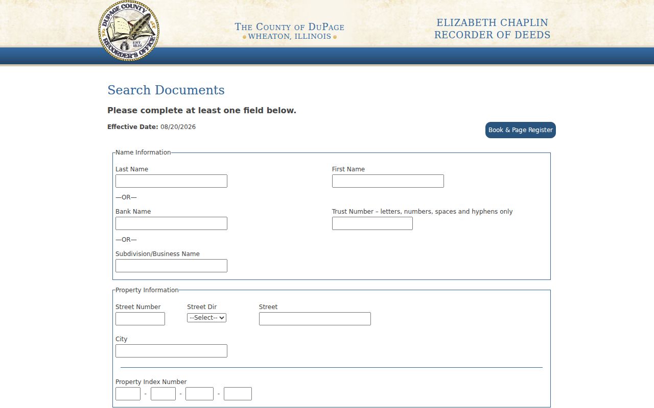
Its online index and images begin March 16, 1961, so earlier street work continues through the Wheaton research office.
For Kendall-side parcels, the Kendall property inquiry includes owner, house-number range, street, city, sale, tax, district, and legal-description fields.
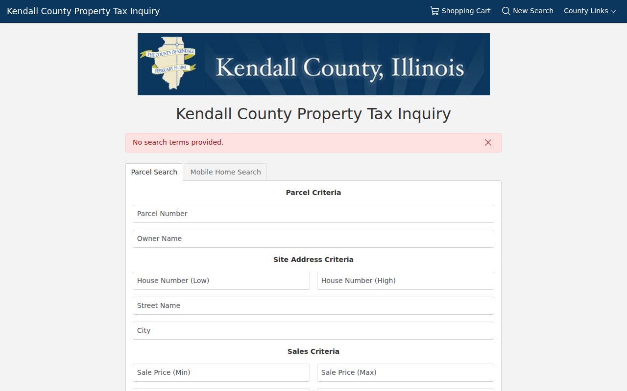
The dated parcel result is an assessment lead; recorder research remains an office route where no stable open document index was found.
The Will County property portal offers PIN, address, sale, subdivision, owner, and property-class modes.
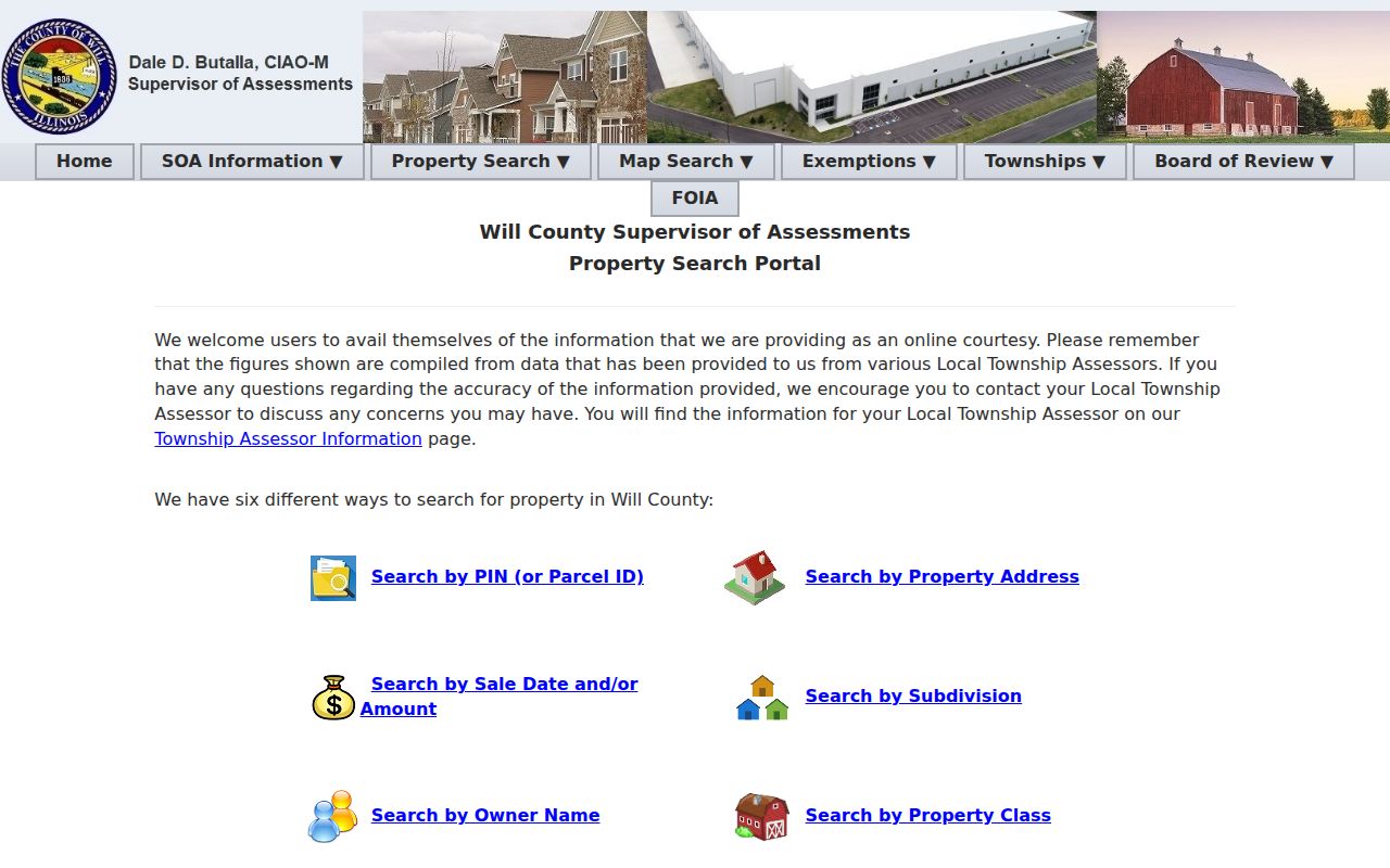
Will assessment data identifies the parcel context; use the recorder or Fidlar route for the recorded instrument and verify current coverage live.