
Six Aurora ZIP Areas
Official city material identifies 60502 through 60507 as city-related postal clues. Each belongs in an Aurora ZIP code directory, but none should be treated as a parcel boundary. The city GIS ZIP layer and USPS address result answer different questions. Exact post-office station assignments should be confirmed through USPS, since the research establishes one main Aurora Post Office rather than a separate named station for each row.
| ZIP | Areas Covered | Post Office | Notes |
|---|---|---|---|
| 60502 | Aurora-area delivery | Confirm with USPS | Verify parcel and city line |
| 60503 | Aurora-area delivery | Confirm with USPS | Verify county and city line |
| 60504 | Aurora-area delivery, including DuPage examples | Confirm with USPS | Not every address is DuPage |
| 60505 | Aurora-area delivery and Kane-side context | Aurora Post Office context | Check county GIS |
| 60506 | Aurora-area delivery | Confirm with USPS | Verify exact parcel |
| 60507 | Aurora-area and older postal assignment context | Confirm with USPS | Use current lookup for a live address |
The USPS delivery group also lists 60568, but city-limit coverage was not established by Aurora's city ZIP layer. Adjacent or special routes such as 60510, 60519, 60538, 60539, 60542, 60554, 60598, and 60599 should never be labeled Aurora city ZIPs without an exact address result.
Read Aurora ZIP Polygons
The Aurora ArcGIS ZIP layer exposes reproducible fields named ZIPCODE and PO_NAME, plus polygon geometry. It is a city map layer, not the Postal Service delivery database. Use it to compare a postal area with the municipal map and to see where a ZIP-shaped polygon meets the Aurora line.
The official ZIP polygon display gives the Aurora ZIP code directory a consistent map source.
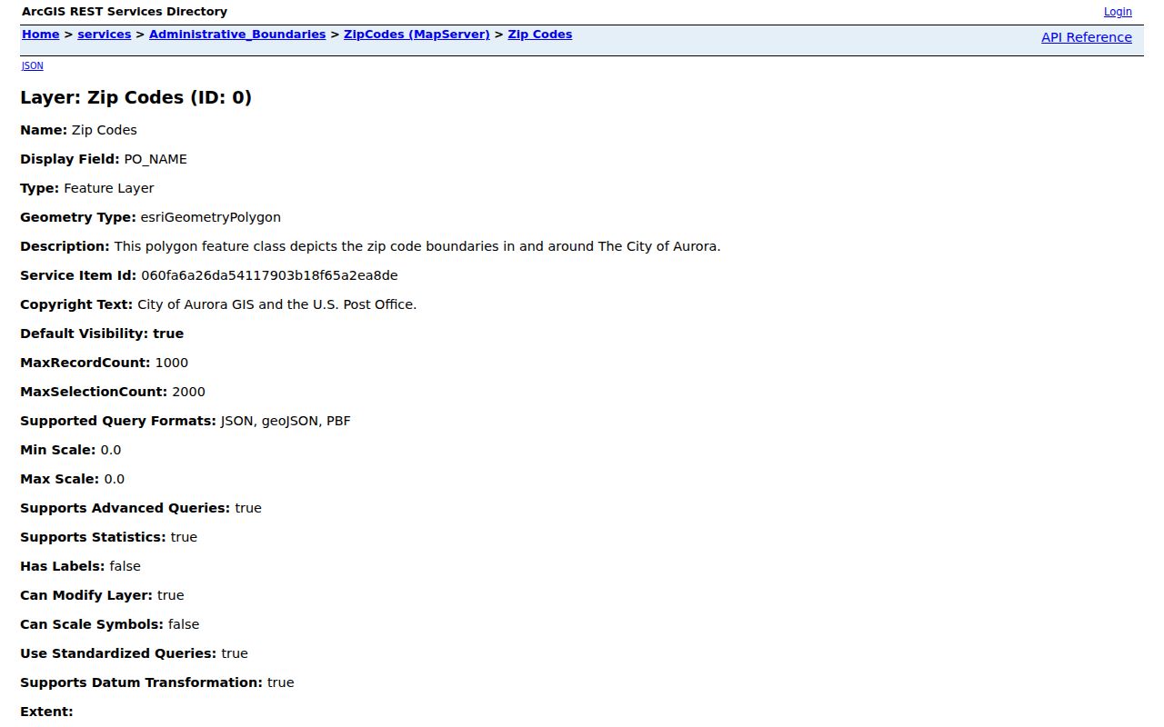
The captured layer supports boundary orientation. It does not identify a current resident or replace a county parcel card.
The Aurora map hub also links city limits, streets, county boards, wards, court districts, subdivisions, townships, zoning, and neighborhood groups. Choose the layer that matches the question instead of merging all these lines into one boundary.
Aurora ZIP Lookup Fields
The USPS Find a ZIP Code tool supports three routes: an exact street address, ZIPs by city and state, or cities associated with a ZIP. For a person search, use the first route only to standardize the address. USPS warns that a business address or a missing unit can yield multiple matches. The result does not confirm that a named person is present.
| Field | Type | Required | Format or Purpose |
|---|---|---|---|
| Company | Text | No | Business line when relevant |
| Street Address | Text | Address route | Standard street address |
| Apt/Suite/Other | Text | No | Narrows multiple matches |
| City | Text | Address route | Postal city |
| State | Dropdown | Yes | State selection |
| ZIP | Text | No | Narrows an address match |
| Find | Button | Yes | Returns the address result |
The Aurora Post Office is at 525 N Broadway, Aurora 60505-9998, phone 630-844-8810. Check the official USPS location record for current service details.
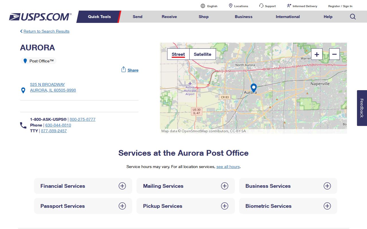
The station record anchors the postal side of the search, while the parcel county still comes from GIS.
Find Aurora Residents by ZIP
A ZIP code is a useful filter after its limits are understood. County property systems may show ZIP as part of an address or result, but PIN and county are stronger keys. The statewide voter form uses a five-digit ZIP as matching input, while Kane's voter tool uses house number or street name. The city layer gives map context, not a name list.
- Enter the full address in the USPS lookup and save the standardized street, unit, city, and ZIP.
- Open the Aurora city ZIP layer and compare that point with the municipal boundary.
- Use MyPlace or county GIS to identify Kane, DuPage, Kendall, or Will County and save the parcel PIN.
- Search the matching assessor with the address, owner name, or PIN. Treat a displayed ZIP as a filter, not identity proof.
- If voter status is relevant, submit the exact ZIP and address to the official match tool. Do not treat it as a roster.
Once the result narrows to an address or named road, the Aurora street directory provides the street-level county workflow.
ZIP, County, and Aurora Limits
Aurora spans Kane, DuPage, Kendall, and Will counties. Postal geography can cross the city line, and the postal city can cover addresses outside municipal Aurora. A 60504 address can be a DuPage parcel, while 60505 can be Kane-side, but those examples do not fix the county for every address in either ZIP. The parcel PIN and county layer settle the office route.
- ZIP Code
- A USPS delivery code, not a municipal or county boundary.
- ZIP+4
- A more specific delivery segment appended to the five-digit ZIP.
- PO-box ZIP
- A code or range used for post-office boxes rather than a mapped home area.
- Unique ZIP
- A code assigned to one high-volume organization or institution.
- Carrier route
- A delivery sequence used by USPS, not a public household roll.
Aurora ZIP Property Filters
The four assessor systems handle address geography in different ways. DuPage includes state and ZIP in its address form. Will uses city or town and a 9-1-1-sourced address. Kane's path uses community rather than relying on ZIP alone. Kendall offers parcel, owner, address, sales, tax-code, district, and legal-description modes. For all four, a PIN is the durable key once it is known.
The Aurora zoning and planning route links address and PIN tools that help identify the correct map context.
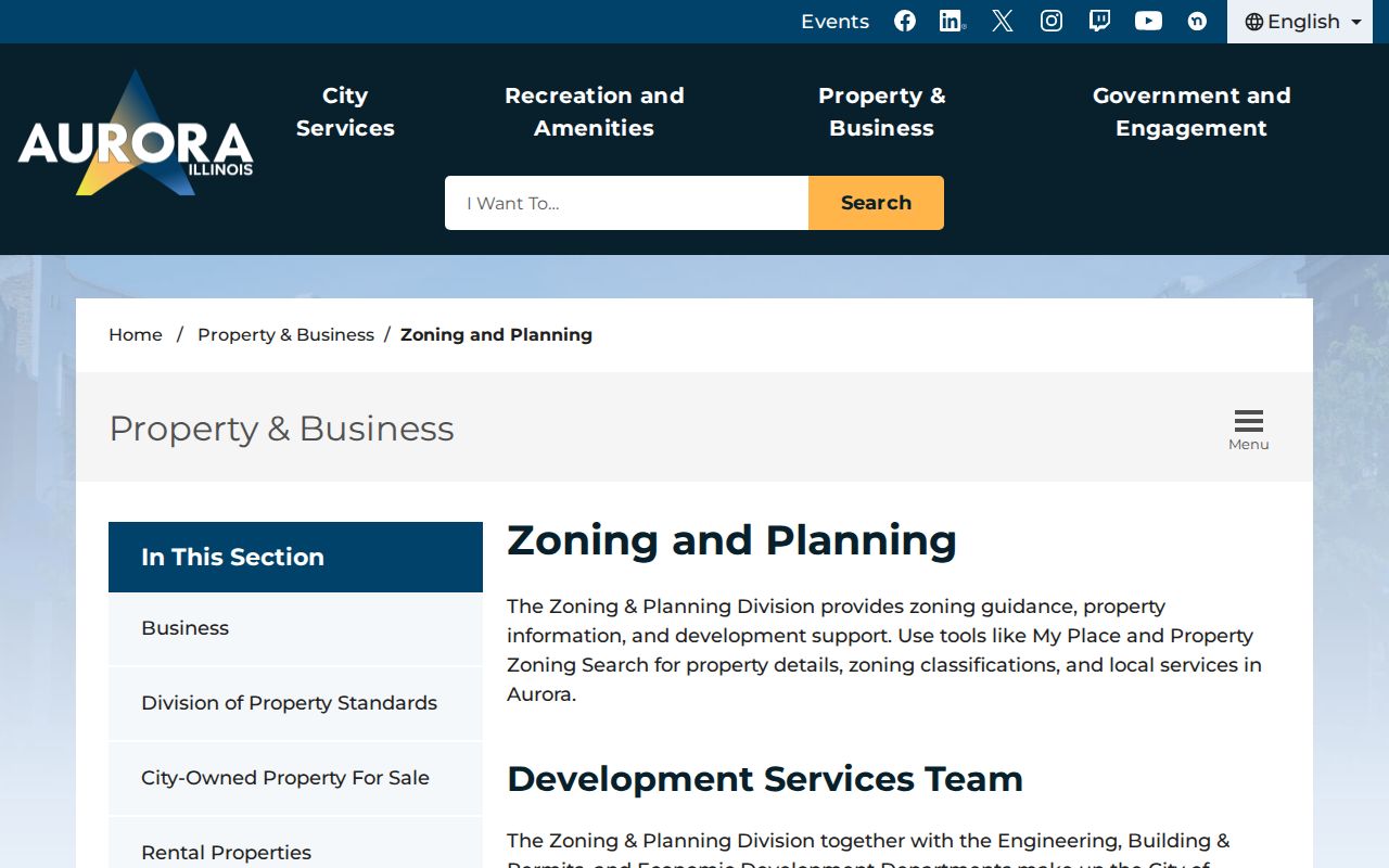
The city lookup is the bridge from postal area to local zoning context. County assessment and recorder systems remain the sources for ownership and deeds.
Mail and counter channels still matter. Kendall's recorder had no open public index located in the research, so use its office route. Recorder images and certified copies may also have access or fee limits even when a searchable index exists.
Aurora Postal Data Beyond ZIP
The USPS AIS Viewer can produce City/State reports with ZIP, city, county, post office, and delivery type, along with ZIP+4, county-code, and delivery-point data. It is subscription based, updated monthly, encrypted, and not exportable. It is a postal quality tool, not a residents list.
The AIS interface helps explain why delivery geography has more detail than a simple five-digit map.
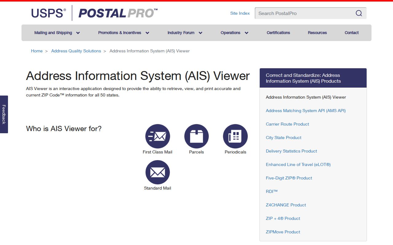
The view supports address validation and county-code research, but a named resident still needs a separate official record with a date and role.
Census ZCTAs are another separate construct. A ZCTA is a statistical area used for population analysis, not a live USPS route. Its totals cannot identify a person or confirm that an address lies within Aurora.
Old Aurora Numbers Break ZIP Searches
A historical address may fail even when its modern ZIP is correct. Aurora renumbered addresses in fall 1928, and the Aurora Public Library District holds a 1929 old-to-new conversion index. For directory or deed research, preserve both numbers, the street name, year, and conversion source. Modern postal geography should not be projected backward without that check.
Historic ward and Sanborn maps can show changed street names, buildings, and block context. Aurora's present map stack adds current ZIP, ward, subdivision, township, and county layers. Match every layer to its date. The research found no single official annexation chronology tying every boundary change to a ZIP, so a specific ordinance or dated map is needed before claiming a historic shift.
Limits of an Aurora ZIP Directory
An Aurora ZIP code directory groups postal and public-record search paths. It cannot disclose who occupies every address. It cannot turn a ZCTA count into a person record, make a tax mailing name the deed owner, or convert a ZIP polygon into city-limit proof. Each result needs its own custodian, date, county, and record role.
Use city GIS for municipal map context, USPS for delivery data, county GIS for parcel jurisdiction, assessors for dated tax facts, recorders for instruments, and election tools for a submitted registration match. That division prevents a common local error: sending an Aurora address to the wrong county office because its ZIP looked familiar.
From an Aurora ZIP to the Correct County
After USPS standardizes an address, place it in Aurora MyPlace and record the city-limit status, county, and PIN. A 60504 or 60505 label does not select the recorder or court by itself. Follow the parcel into Kane, DuPage, Kendall, or Will assessor data, then use that same county for the deed or local court route. If the address falls outside the municipal line, describe the postal relationship without calling it an Aurora city parcel.
Save the source date for each layer. Postal routes, city limits, wards, precincts, and parcel geometry change on different schedules. The city map hub includes each as a separate map because no single boundary answers every records question.
Historical Aurora Addresses Need Conversion
ZIP geography is a modern aid. For a pre-1928 household, use the library conversion index to translate the old street number before searching a directory or map. Keep the old and new numbers together; a current ZIP should not be projected backward onto an older record.
Use ZIP only as a narrowing field, then let the parcel and custodian establish Aurora jurisdiction.
Aurora City Maps Before a ZIP Search
The Aurora map hub separates ZIPs from city limits, wards, streets, townships, subdivisions, and county-board lines.
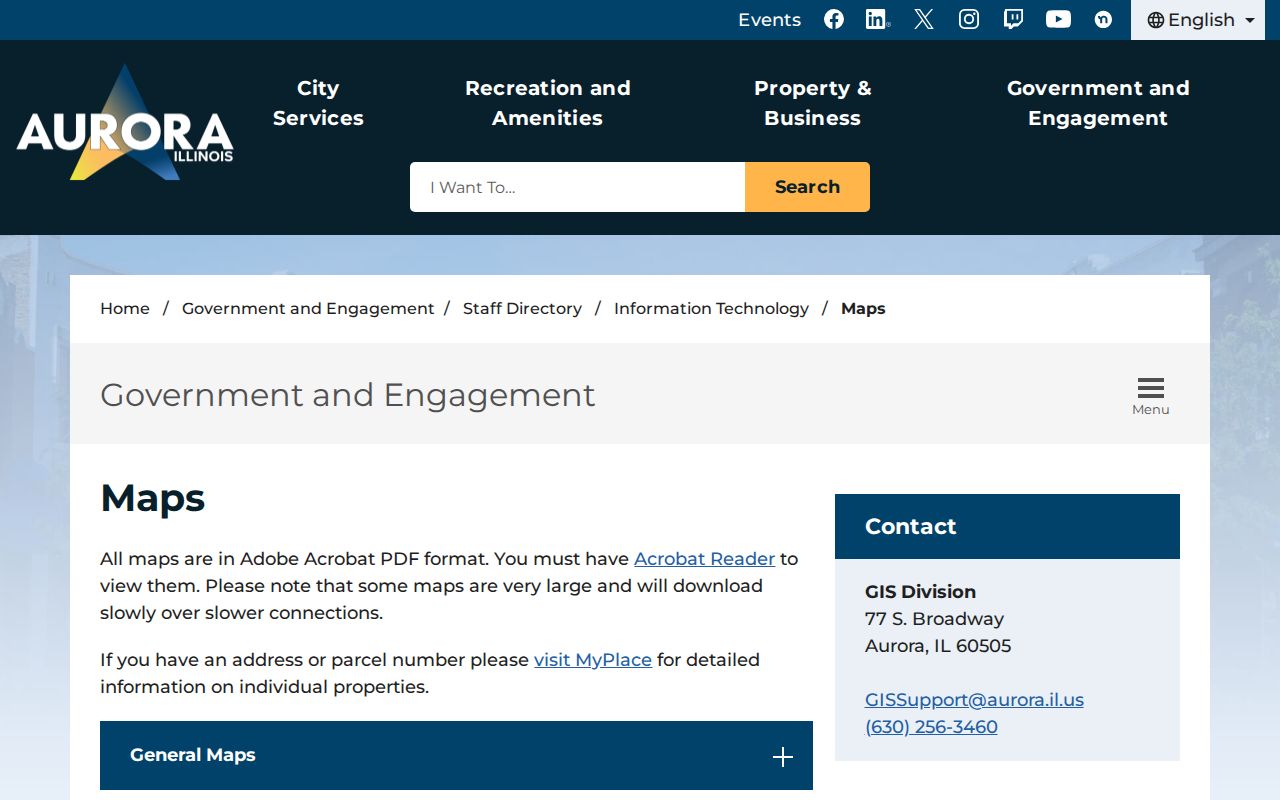
The distinct layers show why a postal code should narrow an address, while the parcel map chooses the public-record custodian.